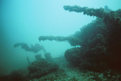
(Bow) N 43° 45.784′, W 086° 27.776′ — (Stern) N 43° 45.705′, W 086° 27.849′
Both sections lie close together about 1.5 miles south of Pentwater, MI. Both are about 35-45 feet deep
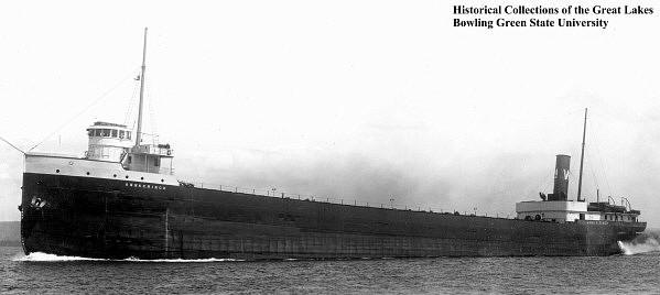
The Anna C. Minch was a steel steamer built 1903 by the American Shipbuilding Company in Cleveland, Ohio. She was 380 feet long and 50 feet in width boasting a capacity of 2,880 tons.
The vessel was owned by the Western Navigation Co., Ltd. of Fort William, Ontario, Canada when she was lost during the Armistice Day storm on November 11, 1940 along with the William B. Davock and the Novadoc.
Some theories say the Minch collided with the William B. Davock, which would certainly explain why the two sank so close to each other, but evidence suggests she simply was overwhelmed by the storm.
The wreckage is spread over a large area. The vessel is in 2 pieces and there are alternate reports as to her location. All 24 lives members of her crew were lost when the ship sank about 1.5 miles south of Pentwater, Michigan.
The following is the text from a Michigan Historical marker in Pentwater:
“The most disastrous day in the history of Lake Michigan shipping was Armistice Day (now Veterans Day), November 11, 1940. With seventy-five-mile-per-hour winds and twenty-foot waves, a raging storm destroyed three ships and claimed the lives of fifty-nine seamen. Two freighters sank with all hands lost, and a third, the Novadoc, ran aground with the loss of two crew members. Bodies washed ashore throughout the day. As night fell, a heavy snow storm arrived. Rescue efforts by the Coast Guard and local citizens continued for three days after the storm. Three Pentwater fishermen were later recognized by the local community and the Canadian government for their bravery in rescuing seventeen sailors from the Novadoc. “
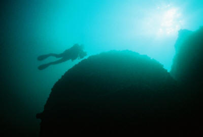
The Anna C. Minch was surveyed by MSRA in October, 2008. The stern section is smaller than the bow section although it has a series of triple boilers side by side that form the most prominent feature of the wreck. The boiler rises to within about 20 feet of the surface and on a clear, calm day, you should be able to see the dark shapes below the dive boat.
The wreckage is very damaged and has broken up considerably both during the sinking process as well as the surf conditions and ice over the six decades since it went down. The debris covers an area about 60 feet diameter with the boilers at the center.
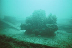
The bow section is about 1/10 of a mile north of the stern, and actually seems to face southeast, suggesting that one half swiveled around as it broke up near shore. At the very bow, there is a large feature-full winch.
Traveling aft, the starboard hull has actually collapsed inward, so you can see some of the outer hull fallen.
Heading aft, you will see a series of structural steel framing members that actually provide a great opportunity for photography, and a trim diver can swim through them at the lowest level of the boat. Near the break, the wreck just peters out into the sand. While no measurements were taken, this larger section appears to be at least 150-200 feet long and about 50 feet wide.
Either section makes for an interesting, shallow, close to shore dive site, but the bow section is significantly larger, while the stern section offers the opportunity to view the boiler.
Keep your drysuit on between dives, because in summer when local divers have a mooring line attached, it will not take too long to relocate the dive boat and make a second dive.
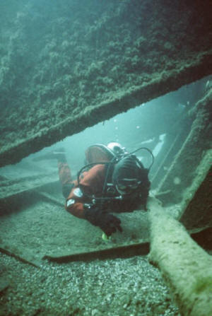
Valerie van Heest dives the Anna Minch Bow
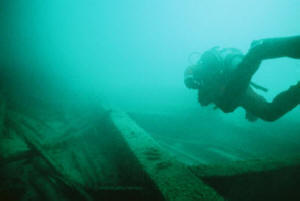
Anna Minch Bow
.
Underwater photos by Valerie and Jack van Heest
